Michigan Antique Original Antique North American Maps & Atlases 1930-1939 Date Range
All
Auction
Buy It Now
11 Results
1930s Antique Michigan State Map RARE Animated Michigan Picture Map BLU 1068
C $67.65Was: C $75.16C $22.00 shippingUSGS Topographic Map Merrill Michigan Antique Original Printed 1937 16x20 Art
C $20.50C $24.98 shipping1930s Antique MICHIGAN State Map RARE Animated Picture Map of Michigan BLU 1373
C $55.35Was: C $61.50C $21.63 shippingAntique Alma Michigan USGS Topographic Map Original Printed 1938 16x20 Art
C $20.50C $19.98 shippingOriginal Berta & Elmer Hader 1932 Pictorial Character State Map of Michigan
C $88.83C $22.15 shippingMap Michigan Northern Peninsula 1938 United States Print Atlas Antique DWU7
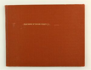
C $16.74Was: C $47.82Mason County, Michigan 1932 Plat Book Atlas Ludington Scottville MI
C $232.25C $39.99 shippingVtg 1938 Saginaw County Soil Survey Booklet & Color Fold Out Map
C $80.63C $24.78 shippingALMA MICHIGAN ORIGINAL 1935 USGS QUADRANGLE 17X21 MAP EXCELLENT CONDITION
C $27.32C $33.99 shippingvintage 1939 map of Michigan & Massachusetts 2 sided 11x14 Boston Ready to frame
C $16.40C $20.49 shipping