Picture 1 of 6


Gallery
Picture 1 of 6


Have one to sell?
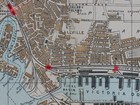
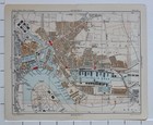
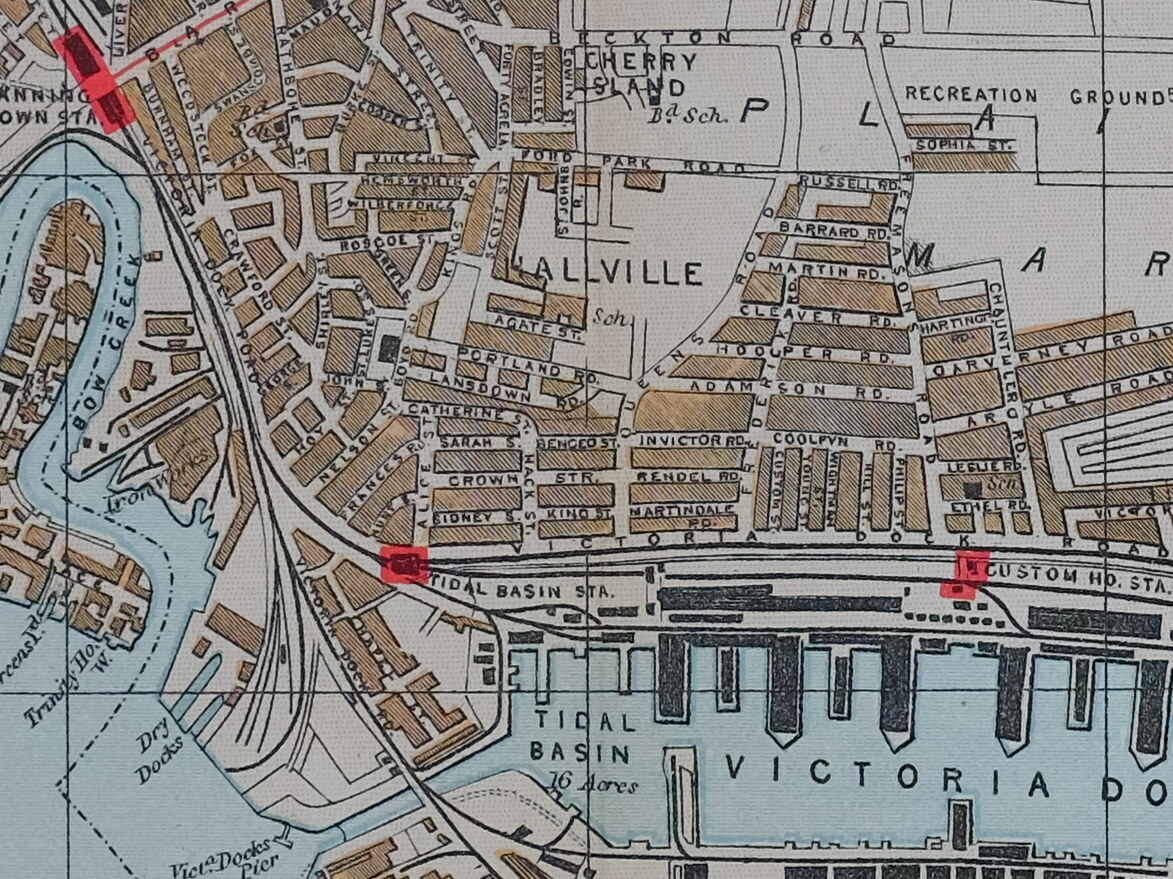
1896 MAP STREET PLAN LONDON NORTH WOOLWICH ALBERT DOCK BECKTON GAS COKE WORKS

GBP 44.00
ApproximatelyC $82.20
or Best Offer
Was GBP 88.00 (50% off)
Condition:
Sale ends in: 6h 15m
- Buy It Now1896 MAP STREET PLAN LONDON NORTH WOOLWICH ALBERT DOCK BECKTON GAS COKE WORKS
Oops! Looks like we're having trouble connecting to our server.
Refresh your browser window to try again.
Shipping:
GBP 28.00 (approx C $52.31) Royal Mail International Tracked.
Located in: York, United Kingdom
Delivery:
Estimated between Tue, Sep 16 and Sat, Sep 27 to 94104
Returns:
No returns accepted.
Payments:
Shop with confidence
Seller assumes all responsibility for this listing.
eBay item number:143624966867
Item specifics
- County
- London
- Original/Reproduction
- Antique Original
- Year
- 1896
- City
- London
- Era
- 1800s
Item description from the seller

Seller feedback (20,515)
- y***y (26)- Feedback left by buyer.Past monthVerified purchaseWonderful item, even better than the photo! Arrived in under a week from the UK to Canada. Great value and packaging. Highly recommended. Thank you so much!
- s***c (570)- Feedback left by buyer.Past 6 monthsVerified purchasePerfectly described, great communication, item well packaged and delivered fast. Highly recommended seller, hope to buy from you again soon.
- b***l (40)- Feedback left by buyer.Past yearVerified purchaseGreat communication, fast shipping - from UK to Lithuania in less than a week. Carefully packaged, everything arrived as described. I totally recommend this seller!1915 WWI PRINT ~ REAR-GUARD ACTION IN THE FOREST NEAR VILNA RUSSIAN SOLDIER (#141845330907)
More to explore:
- London London Antique Europe Sheet Maps,
- London London Antique Europe Folding Maps,
- London London Antique Europe County Maps,
- Antique European Maps & Atlases London London,
- London London Antique Europe City Maps,
- London Wales London Antique Europe Maps & Atlases,
- Antique North America Maps & Atlases,
- North Carolina Antique North America Maps & Atlases,
- London United Kingdom European Antique London Maps & Atlases,
- Antique North America Michigan Maps
Seller feedback (20,515)
- y***y (26)- Feedback left by buyer.Past monthVerified purchaseWonderful item, even better than the photo! Arrived in under a week from the UK to Canada. Great value and packaging. Highly recommended. Thank you so much!
- s***c (570)- Feedback left by buyer.Past 6 monthsVerified purchasePerfectly described, great communication, item well packaged and delivered fast. Highly recommended seller, hope to buy from you again soon.
- b***l (40)- Feedback left by buyer.Past yearVerified purchaseGreat communication, fast shipping - from UK to Lithuania in less than a week. Carefully packaged, everything arrived as described. I totally recommend this seller!1915 WWI PRINT ~ REAR-GUARD ACTION IN THE FOREST NEAR VILNA RUSSIAN SOLDIER (#141845330907)