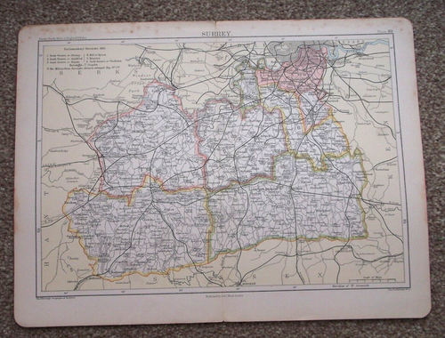
c.1885 Antique Map of Surrey Plate 40 Published by A&C Black London.
GBP 7.90GBP 7.90
Wed, Jul 16, 02:38 PMWed, Jul 16, 02:38 PM
Picture 1 of 2


Gallery
Picture 1 of 2

Have one to sell?
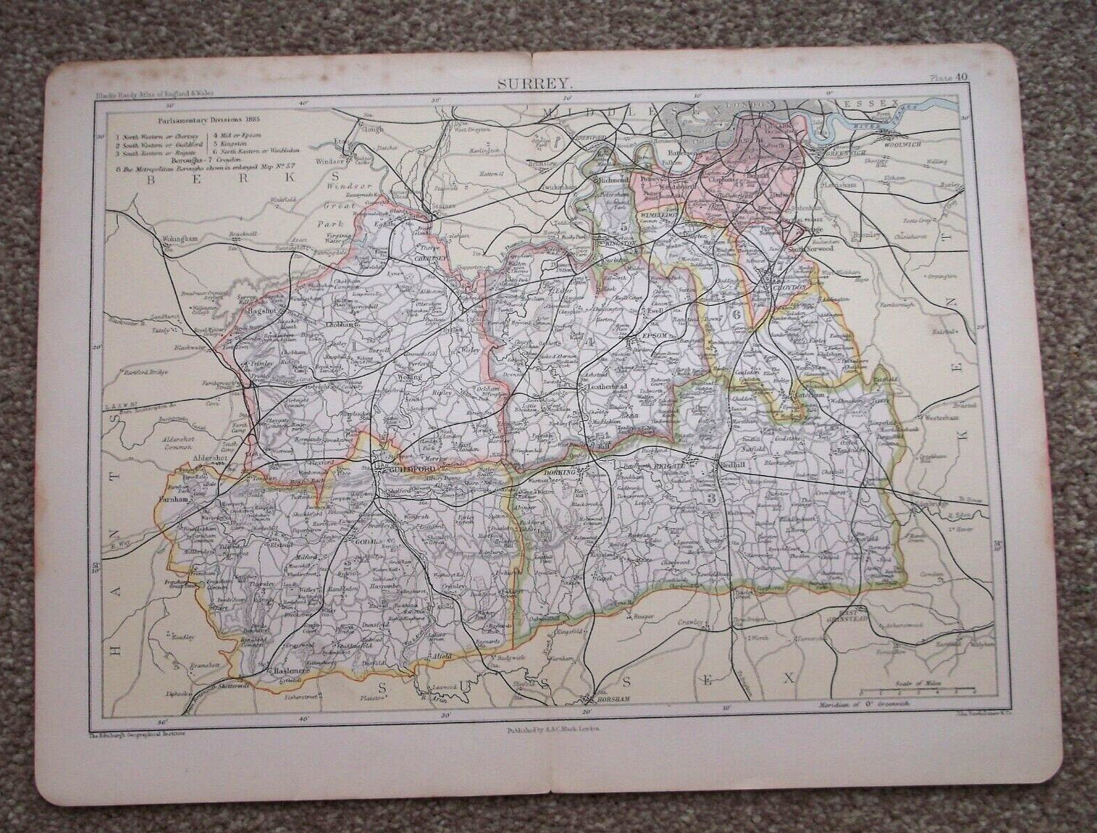
c.1885 Antique Map of Surrey Plate 40 Published by A&C Black London.

Condition:
Ended: Jul 16, 2025 14:38:29 EDT
Oops! Looks like we're having trouble connecting to our server.
Refresh your browser window to try again.
Shipping:
Located in: Lincoln, United Kingdom
Delivery:
Varies
Returns:
No returns accepted.
Payments:
Shop with confidence
Seller assumes all responsibility for this listing.
eBay item number:167631454147
Item specifics
- Antique
- Yes
- Date Range
- 1800-1899
- Type
- Political Map
- Format
- Sheet Map
- Year
- 1885
- Era
- 1800s
- State
- England
- Original/Reproduction
- Antique Original
- Cartographer/Publisher
- John Bartholomew
- City
- Several
- Country/Region
- England, United Kingdom
- County
- Surrey
Item description from the seller

Seller Feedback
No feedback yet
More to explore:
- Antique European Maps & Atlases Surrey,
- London London Copper Plate Antique Europe Maps & Atlases,
- Antique European Maps & Atlases England Surrey,
- London Copper Plate Antique Europe Maps & Atlases,
- London Copper Plate Antique Europe Atlas Maps,
- London Copper Plate Antique Original Antique European Maps & Atlases,
- London London Antique Europe City Maps,
- London England Copper Plate Antique Europe Maps & Atlases,
- London Wales London Antique Europe Maps & Atlases,
- London Antique Europe Folding Maps
Seller Feedback
No feedback yet