
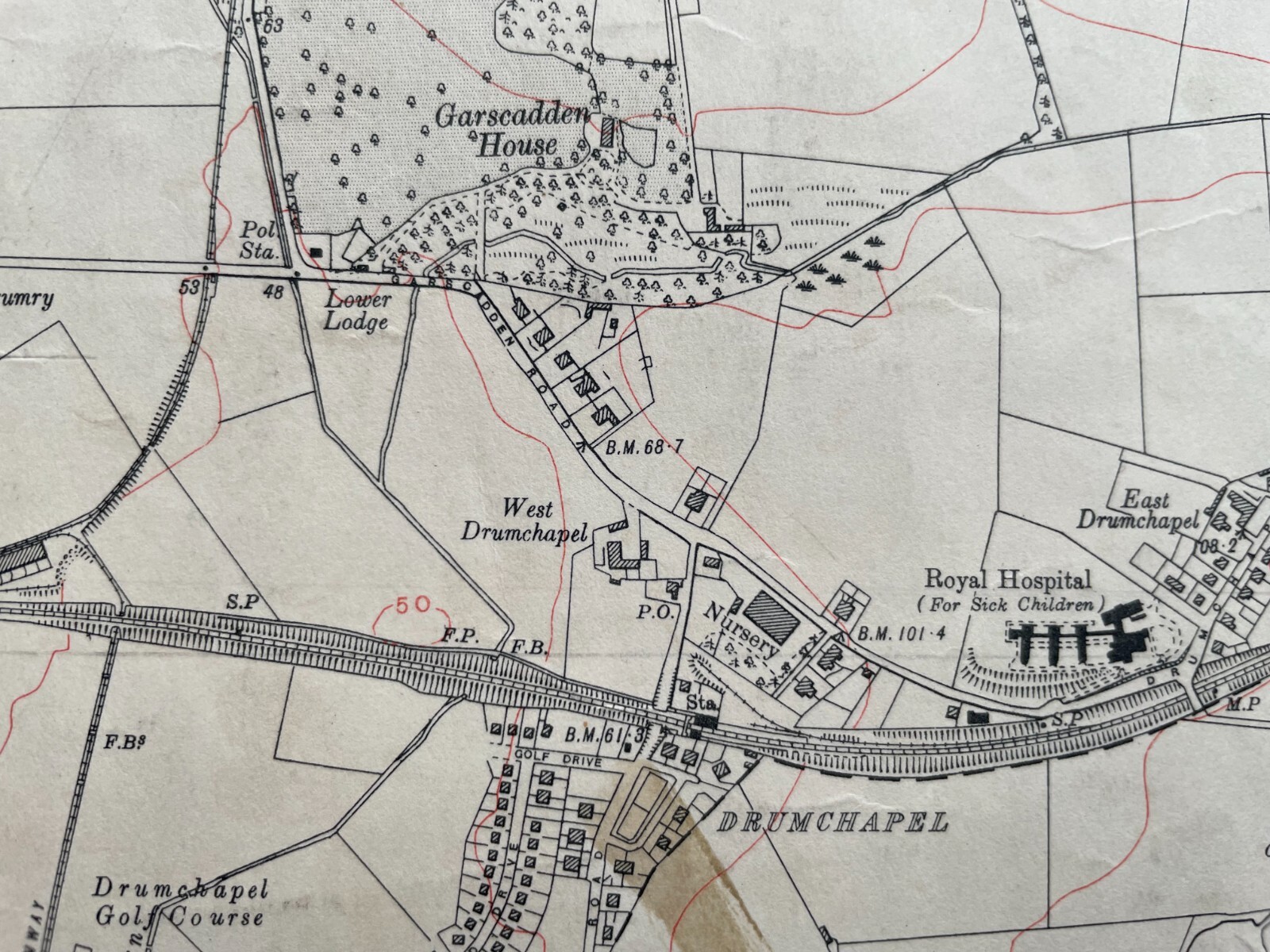
1933 Edition Topographical Map of the Bearsden, Dumbartonshire XXIII. SE
GBP 25.00GBP 25.00
Tue, Jun 17, 08:49 AMTue, Jun 17, 08:49 AM
Picture 1 of 7


Gallery
Picture 1 of 7


Have one to sell?
1933 Edition Topographical Map of the Bearsden, Dumbartonshire XXIII. SE
GBP 25.00
ApproximatelyC $46.20
or Best Offer
Condition:
“The map is generally in good condition; although it has a few marks and an ink stain towards the ”... Read moreabout condition
Oops! Looks like we're having trouble connecting to our server.
Refresh your browser window to try again.
Shipping:
GBP 22.88 (approx C $42.28) International Priority Shipping to United States via eBay's Global Shipping Program.
Located in: Falkirk, United Kingdom
Import charges:
Free amount confirmed at checkout
Delivery:
Estimated between Tue, Sep 2 and Thu, Sep 11 to 94104
Includes international tracking
Returns:
14 days return. Buyer pays for return shipping. If you use an eBay shipping label, it will be deducted from your refund amount.
Payments:
Shop with confidence
Seller assumes all responsibility for this listing.
eBay item number:176658077372
Item specifics
- Seller Notes
- Antique
- Yes
- Date Range
- 1933
- Type
- Topographical Map
- Format
- Flat/Rolled
- Printing Technique
- Thick paper
- Year
- 1933
- Era
- 1930s
- Original/Reproduction
- Antique Original
- Cartographer/Publisher
- Ordnance Survey
- City
- Glasgow
- Country/Region
- Scotland
- County
- Dunbartonshire, Lanarkshire, Renfrewshire
Item description from the seller
Seller Feedback
No feedback yet
More to explore:
- Antique Topographical Maps,
- Topographical Map Antique Atlas Maps,
- Topographical Map Antique Folding Maps,
- Topographical Map Antique Sheet Maps,
- Topographical Map Antique Wall Maps,
- Lithography Topographical Map Antique Sheet Maps,
- Antique World Topographical Maps,
- Antique North America Topographical Maps,
- Germany Topographical Map Antique Europe Atlas Maps,
- Copper Plate Topographical Map Antique Atlas Maps