
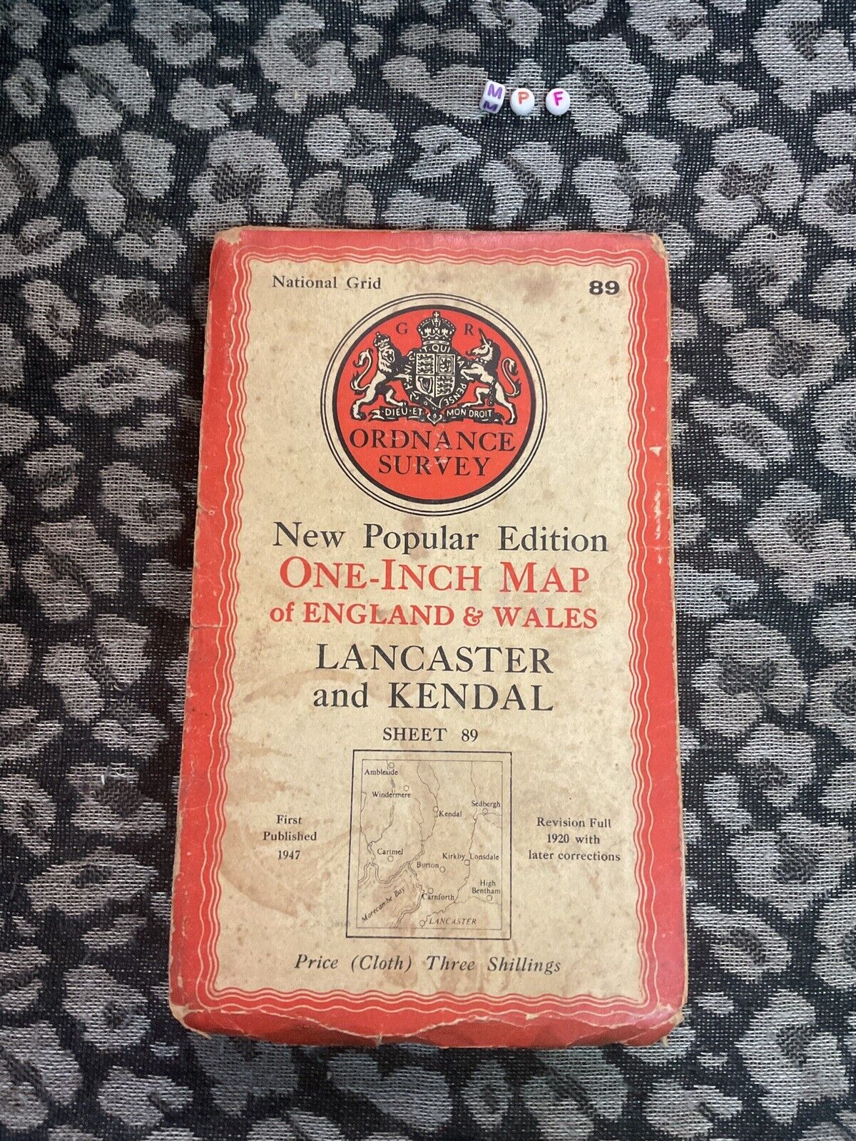
Vintage 1947 Ordnance Survey Map Atlas , Lancaster Kendal
GBP 15.19GBP 15.19
Tue, Jul 01, 04:30 AMTue, Jul 01, 04:30 AM
Picture 1 of 3


Gallery
Picture 1 of 3


Have one to sell?
Vintage 1947 Ordnance Survey Map Atlas , Lancaster Kendal
GBP 15.19
ApproximatelyC $28.45
or Best Offer
Was GBP 18.99 (20% off)
Condition:
Acceptable
A book with obvious wear. May have some damage to the cover but integrity still intact. The binding may be slightly damaged but integrity is still intact. Possible writing in margins, possible underlining and highlighting of text, but no missing pages or anything that would compromise the legibility or understanding of the text. See the seller’s listing for full details and description of any imperfections.
Ended: Jul 01, 2025 04:30:10 EDT
Oops! Looks like we're having trouble connecting to our server.
Refresh your browser window to try again.
Shipping:
Free Economy Int'l Postage.
International shipment of items may be subject to customs processing and additional charges.
Located in: Walsall, United Kingdom
Delivery:
Estimated between Thu, Aug 21 and Mon, Sep 8 to 94104
Returns:
30 days return. Buyer pays for return shipping. If you use an eBay shipping label, it will be deducted from your refund amount.
Payments:
Shop with confidence
Seller assumes all responsibility for this listing.
eBay item number:176887562866
Item specifics
- Condition
- Series
- Ordnance Survey
- Publication Year
- 1953
- Type
- Atlas
- Format
- Folding Map
- Publication Name
- Map
Item description from the seller
Seller business information
VAT number: GB 485193166
Seller Feedback
No feedback yet
More to explore:
- Ordnance Survey Maps & Atlases,
- Ordnance Survey Maps & Atlases in English,
- Ordnance Survey Folding Map Maps & Atlases,
- Ordnance Survey United Kingdom Maps & Atlases,
- Ordnance Survey Paperbacks,
- Ordnance Survey 2010-Now Publication Year Maps & Atlases,
- Atlas,
- Road Atlas,
- World Atlas,
- Michelin Folding Map Maps & Atlases