Picture 1 of 9


Gallery
Picture 1 of 9


Have one to sell?
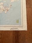
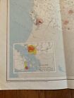
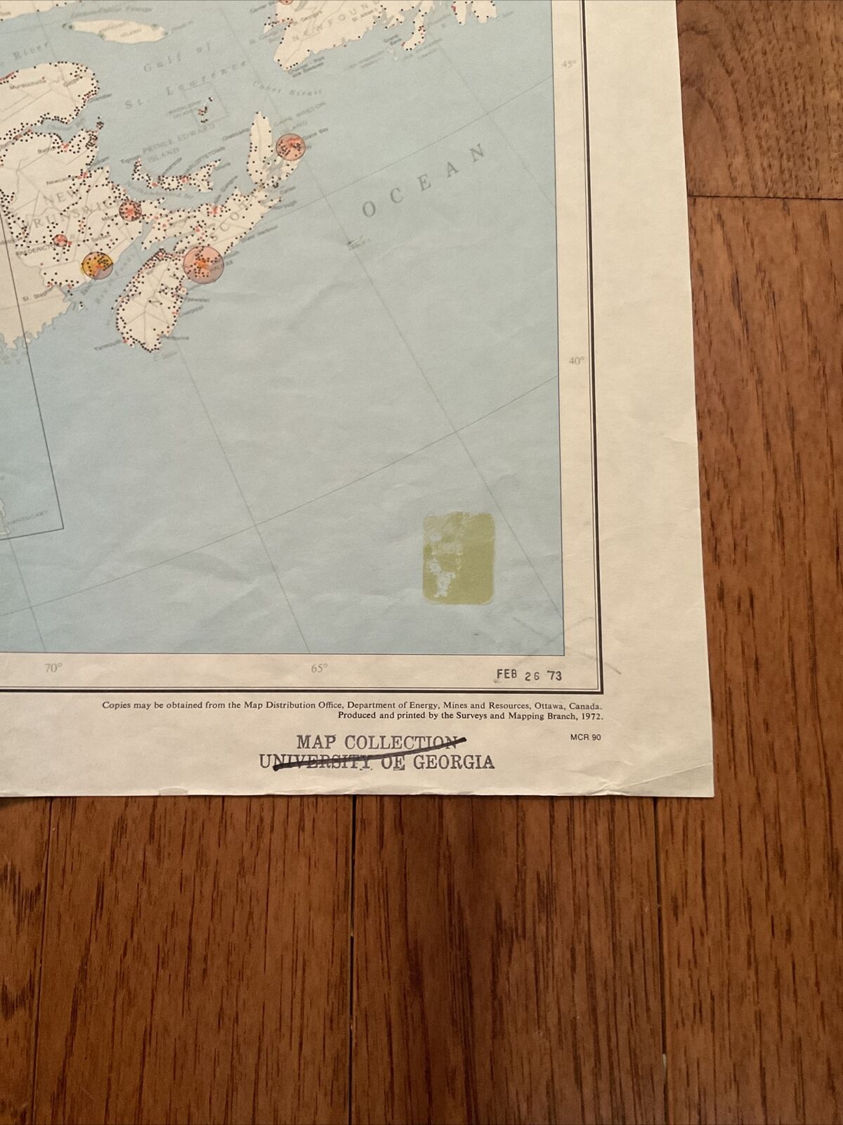
Large Vintage 1961 Map Of Canada, Population Distribution, Governmental Map

US $24.99
ApproximatelyC $34.00
Condition:
Oops! Looks like we're having trouble connecting to our server.
Refresh your browser window to try again.
Shipping:
US $10.60 (approx C $14.42) USPS Ground Advantage®.
Located in: Bristol, Tennessee, United States
Delivery:
Estimated between Sat, Aug 2 and Sat, Aug 9 to 91768
Returns:
No returns accepted.
Payments:
Shop with confidence
Seller assumes all responsibility for this listing.
eBay item number:186048561214
Item specifics
- Year
- 1961
- Country/Region
- Canada
Item description from the seller
Seller feedback (353)
- r***6 (350)- Feedback left by buyer.Past 6 monthsVerified purchaseGreat experience! Exactly as promised, fast, and a bit expensive in shipping but very well wrapped for shipping. Would definitely buy from this seller again. A+++Reader's Digest November 1939 - American Neutrality/Wellman Iowa/Lynching/Nazi (#186620629069)
- 6***6 (830)- Feedback left by buyer.Past 6 monthsVerified purchaseThe map arrived exactly as it was described, in excellent condition for its age. It was promptly shipped and extremely well packaged. Thank you very much for such a flawless transaction!Antique Map Of Faeroe Islands Revised In 1954, Printed 1962, Army Map Service (#186163597156)
- r***i (219)- Feedback left by buyer.Past 6 monthsVerified purchaseSuper fast shipping...item as described... would buy again from this seller
More to explore:
- Canada Physical Map Antique North America Atlas Maps,
- Vintage Original County Map Antique Sheet Maps,
- Vintage Original County Map Antique Folding Maps,
- Political Map Vintage Original Antique Atlas Maps,
- Vintage Original Topographical Map Antique Atlas Maps,
- Vintage Reproduction City Map Antique Atlas Maps,
- Vintage Original Topographical Map Antique Folding Maps,
- Vintage Original City Map Antique Europe Folding Maps,
- Canada Antique North America Wall Maps,
- Canada Antique North America Sheet Maps
Seller feedback (353)
- r***6 (350)- Feedback left by buyer.Past 6 monthsVerified purchaseGreat experience! Exactly as promised, fast, and a bit expensive in shipping but very well wrapped for shipping. Would definitely buy from this seller again. A+++Reader's Digest November 1939 - American Neutrality/Wellman Iowa/Lynching/Nazi (#186620629069)
- 6***6 (830)- Feedback left by buyer.Past 6 monthsVerified purchaseThe map arrived exactly as it was described, in excellent condition for its age. It was promptly shipped and extremely well packaged. Thank you very much for such a flawless transaction!Antique Map Of Faeroe Islands Revised In 1954, Printed 1962, Army Map Service (#186163597156)
- r***i (219)- Feedback left by buyer.Past 6 monthsVerified purchaseSuper fast shipping...item as described... would buy again from this seller