Picture 1 of 10


Gallery
Picture 1 of 10


Have one to sell?
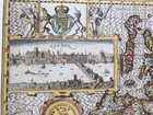
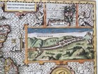
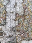
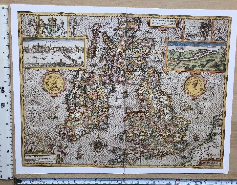
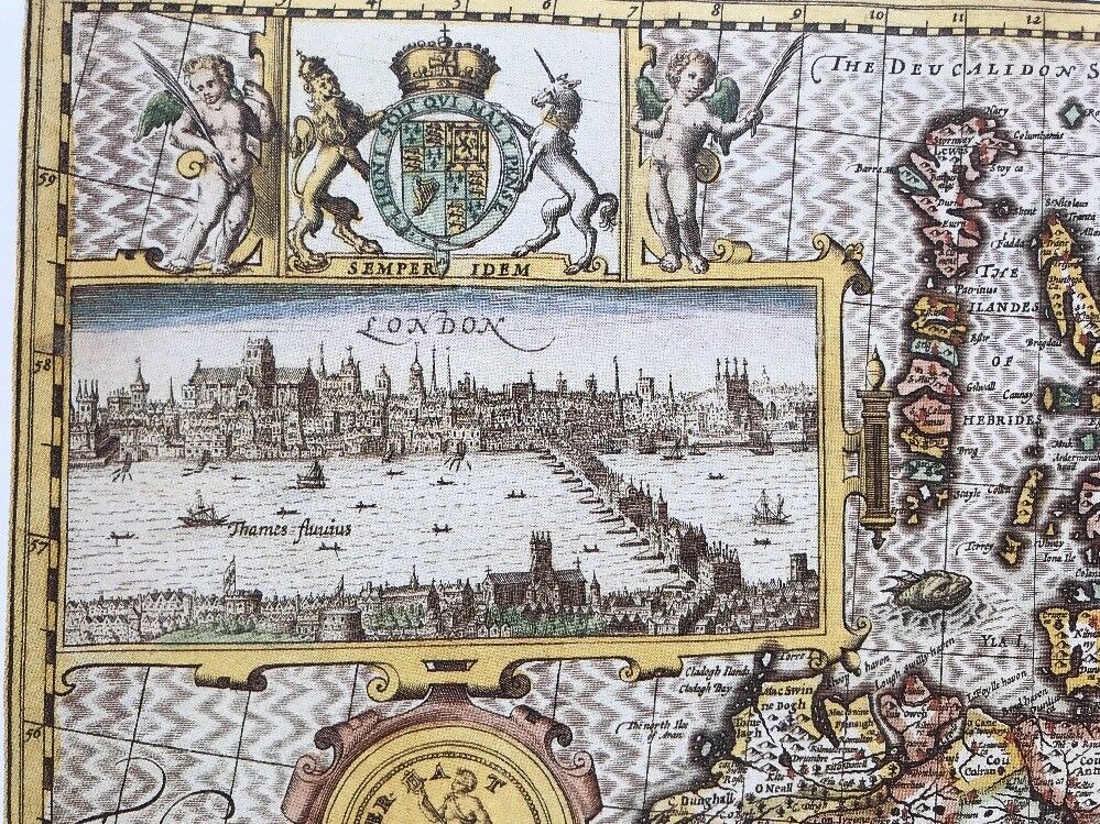
Antique Tudor map British Isles Britain Ireland London Edinburgh 1600s Reprint
GBP 4.99
ApproximatelyC $9.26
Condition:
“This map is a book plate taken very carefully from a book of maps printed in 1988. It is printed on ”... Read moreabout condition
3 available2 sold
- Buy It NowAntique Tudor map British Isles Britain Ireland London Edinburgh 1600s Reprint
Oops! Looks like we're having trouble connecting to our server.
Refresh your browser window to try again.
Shipping:
GBP 19.52 (approx C $36.24) International Priority Shipping to United States via eBay's Global Shipping Program.
Located in: Sheffield, United Kingdom
Import charges:
Free amount confirmed at checkout
Delivery:
Estimated between Wed, Jul 16 and Fri, Jul 25
Includes international tracking
Returns:
No returns accepted.
Payments:
Shop with confidence
Seller assumes all responsibility for this listing.
eBay item number:304371128883
Item specifics
- Seller Notes
- Antique
- Yes
- Cartographer/Publisher
- John Speed
- City
- Edinburgh
- County
- London
- Date Range
- 1600-1699
- Type
- Physical Map
- Format
- Wall/ Poster Map
- Year
- 1610
- Era
- 1600s
- Original/Reproduction
- Antique Reproduction
- Country/Region
- Great Britain, Ireland
- Map Type
- Countries/ Borders
- Antique/ Modern
- Antique
Item description from the seller
Seller feedback (3,310)
- *****- Feedback left by buyer.Past monthVerified purchaseExcellent transaction. Map was as described, well packaged and delivered on time Recommended seller
- *****- Feedback left by buyer.Past 6 monthsVerified purchaseAs described. Well protected with cardboard in envelope for international mail England to Australia. Seller recommended. Thanks A+
- *****- Feedback left by buyer.Past monthVerified purchaseItem exactly as described, quick dispatch and delivery. Overall, excellent service from this highly recommended seller.Buy with 100% confidence !
This is a private listing and your identity will not be disclosed to anyone except the seller.
More to explore:
- London Ireland London Antique Europe Maps & Atlases,
- Antique European Maps & Atlases London Ireland,
- Antique European Maps & Atlases Ireland London,
- Edinburgh Antique Europe Atlas Maps,
- Edinburgh Antique Europe City Maps,
- Ireland Antique Europe Maps & Atlases,
- Ireland Antique Europe Sheet Maps,
- Ireland Antique Europe City Maps,
- Edinburgh Scotland Antique Original Antique European Maps & Atlases,
- Ireland Wicklow Antique Europe County Maps