Picture 1 of 3


Picture 1 of 3


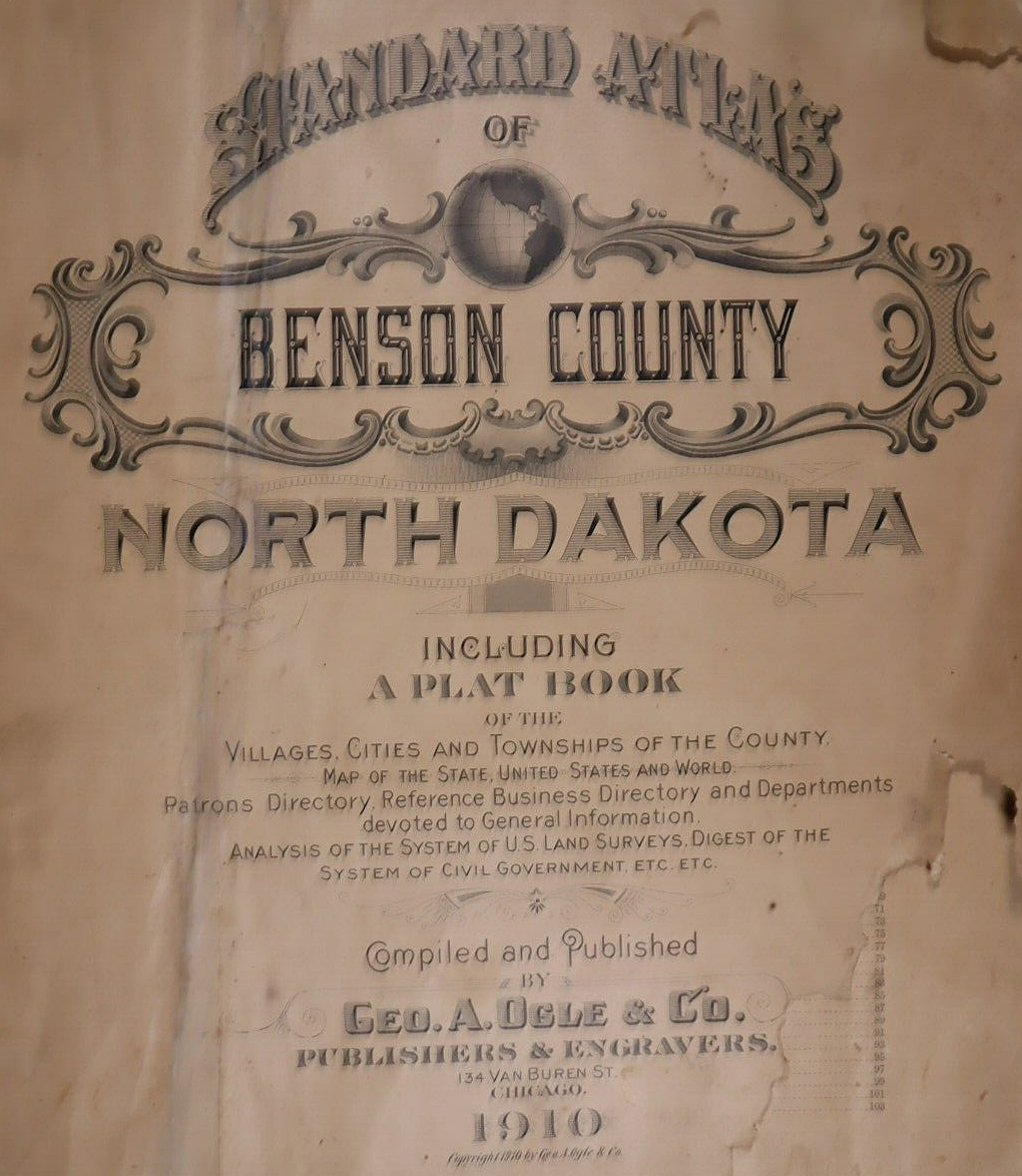
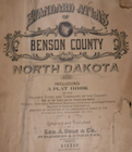
Old 1910 Plat Map ~ BROW Twp., BENSON Co., NORTH DAKOTA ~ Free S&H

US $45.95
ApproximatelyC $62.40
or Best Offer
Was US $48.88 (6% off)
Condition:
“Quick N Free S&H ~ Reasonable offers considered. Browse through 1,000s of Rare, Authentic, Antique & ”... Read moreabout condition
Ended: May 11, 2024 13:17:42 EDT
Shipping:
Free USPS Ground Advantage®.
Located in: Schertz, Texas, United States
Delivery:
Estimated between Mon, Sep 30 and Fri, Oct 4 to 43230
Returns:
30 days return. Buyer pays for return shipping.
Payments:
Shop with confidence
Seller assumes all responsibility for this listing.
eBay item number:355626461360
Item specifics
- Seller Notes
- Frame
- Suitable for framing.
- US State
- North Dakota
- Color
- All colors are original.
- Cartographer/Publisher
- Geo. A. Ogle
- Date Range
- 1910
- Type
- Plat & County Map
- Format
- Plat Atlas Map
- Year
- 1910
- Ref#
- BENSON-ND1910/022523
- Original/Reproduction
- Antique Original
- Country/Region
- United States of America
- Original
- This map page was printed in 1910.
Item description from the seller

More to explore:
- North Dakota 1910-1919 Date Range Antique North America County Maps,
- North Dakota Antique North American Maps & Atlases 1910-1919 Date Range,
- North Dakota Antique Original Antique North American Maps & Atlases 1910-1919 Date Range,
- South Dakota Antique North American Maps & Atlases 1910-1919 Date Range,
- North Dakota Antique North America County Maps,
- North Dakota Antique North America Folding Maps,
- Rand McNally & Co. 1910-1919 Date Range Antique North America Railroad Maps,
- North Dakota Antique North America Sheet Maps,
- South Dakota County Map Antique North America Atlas Maps,
- Antique North American Maps & Atlases 1910-1919 Date Range