Picture 1 of 1

Gallery
Picture 1 of 1
Have one to sell?
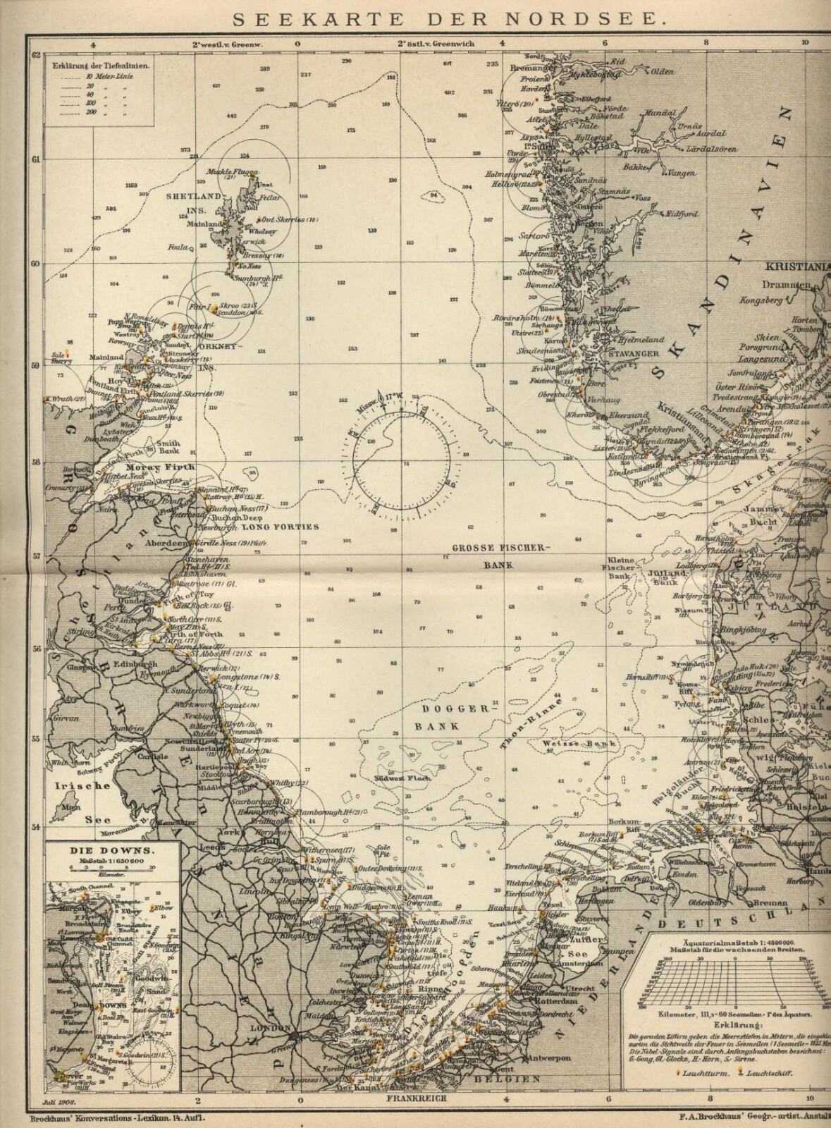
1902 = NAUTICAL CHART NORTH SEA = Ancient Map = OLD MAP-

EUR 9.90
ApproximatelyC $16.01
Condition:
- Buy It Now1902 = NAUTICAL CHART NORTH SEA = Ancient Map = OLD MAP
Oops! Looks like we're having trouble connecting to our server.
Refresh your browser window to try again.
Shipping:
EUR 5.35 (approx C $8.65) Postapriority Internazionale.
International shipment of items may be subject to customs processing and additional charges.
Located in: Pescara, Italy
Delivery:
Estimated between Thu, Aug 21 and Mon, Sep 8 to 94104
Returns:
No returns accepted.
Payments:
Shop with confidence
Seller assumes all responsibility for this listing.
eBay item number:364967881016
Item description from the seller
Seller business information
VAT number: IT 01821870688

Popular categories from this store
Seller feedback (8,822)
- n***h (68)- Feedback left by buyer.Past monthVerified purchaseSpedizione rapidissima e imballaggio perfetto. Oggetto conforme alla descrizione. Venditore altamente consigliato!
- w***8 (30)- Feedback left by buyer.Past 6 monthsVerified purchaseEsperienza molto positiva. Ho acquistato martedì ed oggi ho ricevuto la busta. La mappa è conforme alla descrizione ed è perfetta, non presenta imperfezioni.
- i***r (2)- Feedback left by buyer.Past 6 monthsVerified purchaseSpedizione rapidissima, stampa bella, come descritto. Venditore gentile e disponibile.1889 Antica Stampa = OROLOGI ELETTRICI = Industria Artigianato = OLD PRINT (#395974420146)
More to explore:
- Nautical Map Antique North America Atlas Maps,
- Nautical Map Antique North America Folding Maps,
- Nautical Map Antique North America Wall Maps,
- Antique North America Nautical Maps,
- Antique Original Nautical Map Antique North America Folding Maps,
- Antique Original Nautical Map Antique North America Atlas Maps,
- Florida Antique North America Nautical Maps,
- United States of America Nautical Map Antique North America Wall Maps,
- Lithography Nautical Map Antique Folding Maps,
- Rhode Island Antique North America Nautical Maps
Popular categories from this store
Seller feedback (8,822)
- n***h (68)- Feedback left by buyer.Past monthVerified purchaseSpedizione rapidissima e imballaggio perfetto. Oggetto conforme alla descrizione. Venditore altamente consigliato!
- w***8 (30)- Feedback left by buyer.Past 6 monthsVerified purchaseEsperienza molto positiva. Ho acquistato martedì ed oggi ho ricevuto la busta. La mappa è conforme alla descrizione ed è perfetta, non presenta imperfezioni.
- i***r (2)- Feedback left by buyer.Past 6 monthsVerified purchaseSpedizione rapidissima, stampa bella, come descritto. Venditore gentile e disponibile.1889 Antica Stampa = OROLOGI ELETTRICI = Industria Artigianato = OLD PRINT (#395974420146)