
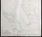
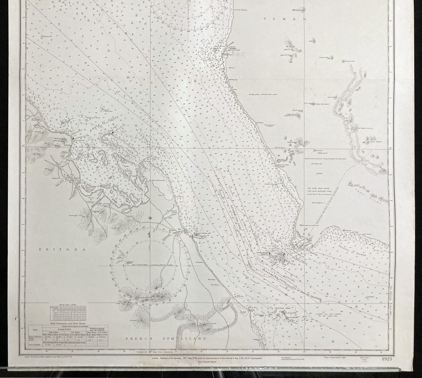
Nautical Chart Hanish Islands Straits of Bab-El-Mandeb Red Sea Admiralty 1950
US $70.00US $70.00
Fri, Jul 11, 06:11 AMFri, Jul 11, 06:11 AM
Picture 1 of 3


Gallery
Picture 1 of 3


Have one to sell?
Nautical Chart Hanish Islands Straits of Bab-El-Mandeb Red Sea Admiralty 1950

US $70.00
ApproximatelyC $96.73
or Best Offer
Condition:
“Please view item description for details.”
Oops! Looks like we're having trouble connecting to our server.
Refresh your browser window to try again.
Shipping:
US $14.00 (approx C $19.35) Economy Shipping from outside US.
International shipment of items may be subject to customs processing and additional charges.
Located in: BG, Serbia
Delivery:
Estimated between Wed, Sep 3 and Fri, Sep 19 to 94104
Returns:
30 days return. Seller pays for return shipping.
Payments:
Shop with confidence
Seller assumes all responsibility for this listing.
eBay item number:403789747248
Item specifics
- Seller Notes
- “Please view item description for details.”
- Listed By
- Dealer or Reseller
- Date of Creation
- 1978
- Size
- Large (up to 60in.)
- Height (Inches)
- 27
- Width (Inches)
- 40
- Subject
- Map
- Print Surface
- Paper
- Country of Manufacture
- United Kingdom
- Place of Publication
- London
- Publisher
- Admiralty
- Cartographer/Publisher
- Archibald Day
Item description from the seller

Seller Feedback
No feedback yet
More to explore:
- Rhode Island Antique North America Nautical Maps,
- Red 1950s Hardware,
- 1950-1959 Date Range Antique Nautical Maps,
- Nautical Post - 1950 Time Period Manufactured Antique Tables,
- Contemporary 1950-1959 Date Range Antique Nautical Maps,
- Antique Maritime Navigational Charts,
- Licensed Reproduction Post - 1950 Time Period Manufactured Nautical Antique Tables,
- Rhode Island Antique North American Maps & Atlases 1950-1959 Date Range,
- Canada Antique Maritime Navigational Charts,
- Nautical Antique Furniture
Seller Feedback
No feedback yet